25
2012Cobra Arch GPX and Google Earth KMZ file
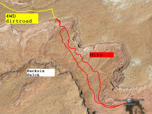
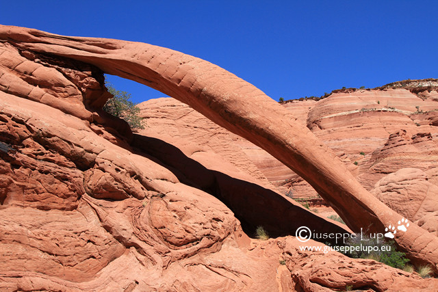
Stunning Cobra Arch is nestled in a quiet corner of the Paria Canyon Wilderness, just north of one of the premiere slot canyons in the Southwest – Buckskin Gulch. The GPX track of the 4WD starts at the BLM ranger station on highway 89 west of Page, Az. I did this hike on may 27th 2011. Its challenge is not the length cause it is only 5 miles round trip but its remoteness. The trailhead can only be reached on a 4WD dirtroad whith deep sand passages and when I drove the dirtroad another obstacle was the partially washed out road which required to take an adventoursome bypass. Take this drive only under dry conditions cause the dirtroad climbs a “spine” that could be hazardous in wet conditions due to the clay surface and long drop offs. From the trailhead the only difficulty is to find a easy climb down from the rim to the plateau north of the Bucksin Gulch. When down its an easy hike, but take enough water with you. Due to its remotness and rare visitors you should hike only with a partner. Any injury or accident could get very dangerous. Not necessary to mention that you have no cell phone reception in theses remote areas. I did not see any other hikers the whole day during this hike.
To see the Hike on Google Earth click the foto below and download the KMZ file which might open directly your Google Earth application.
For the GPX files of 4WD and hike use this link.

